Via Alpina
CROSSING THE ENTIRE ALPINE ARC FROM EAST TO WEST ON FOOT


During the summer of 2016, after living for two years in Australia, I returned to Europe to hike the Via Alpina: crossing the Alps on foot, a dream since I was a child! From Trieste to the Principality of Monaco, passing through Slovenia, Austria, Germany, Liechtenstein, Switzerland, France and of course Italy. There are various ways to follow it: Via Alpina is a network of 5 hiking trails through the eight countries of the Alps, more than 5000 km and 342 daily stages: by convection the various routes are identified each with a different color: there is the Red Trail, which is also the one that can be followed from start to finish from east to west (or vice versa), the Yellow Trail, which crosses all the Julian Alps and the Friulan Dolomites Natural Park, the Purple Trail, which develops entirely in Austria, the Green Trail, which crosses all of Switzerland and Liechtenstein, and finally the Blue Trail, which crosses all of France up to the Principality of Monaco.
THE HISTORY OF THE VIA ALPINA
The birth of the Via Alpina is rooted in the signing, in 1991, of the Alpine Convention, a treaty by which the European Union and the eight Alpine countries formalized their common intention to ensure the sustainable development of the Alpine environment in a transnational and interregional perspective.
In this context, in 1999 the French association Grande Traversée des Alpes proposed the creation of a hiking route that would cross all countries; the project was approved by all the signatories to the Convention.
The route is defined on existing paths, on which the Via Alpina signs are affixed; agreements are also entered into with the stopover points, where information signs are affixed. At the same time, the documentation part is also prepared: brochures, maps at different scales, website. Once this phase has been completed, a second one begins, in 2005, more focused on the enhancement of the initiative at local level: the purpose of this phase is to help local authorities to use the Via Alpina to improve the tourist offer.


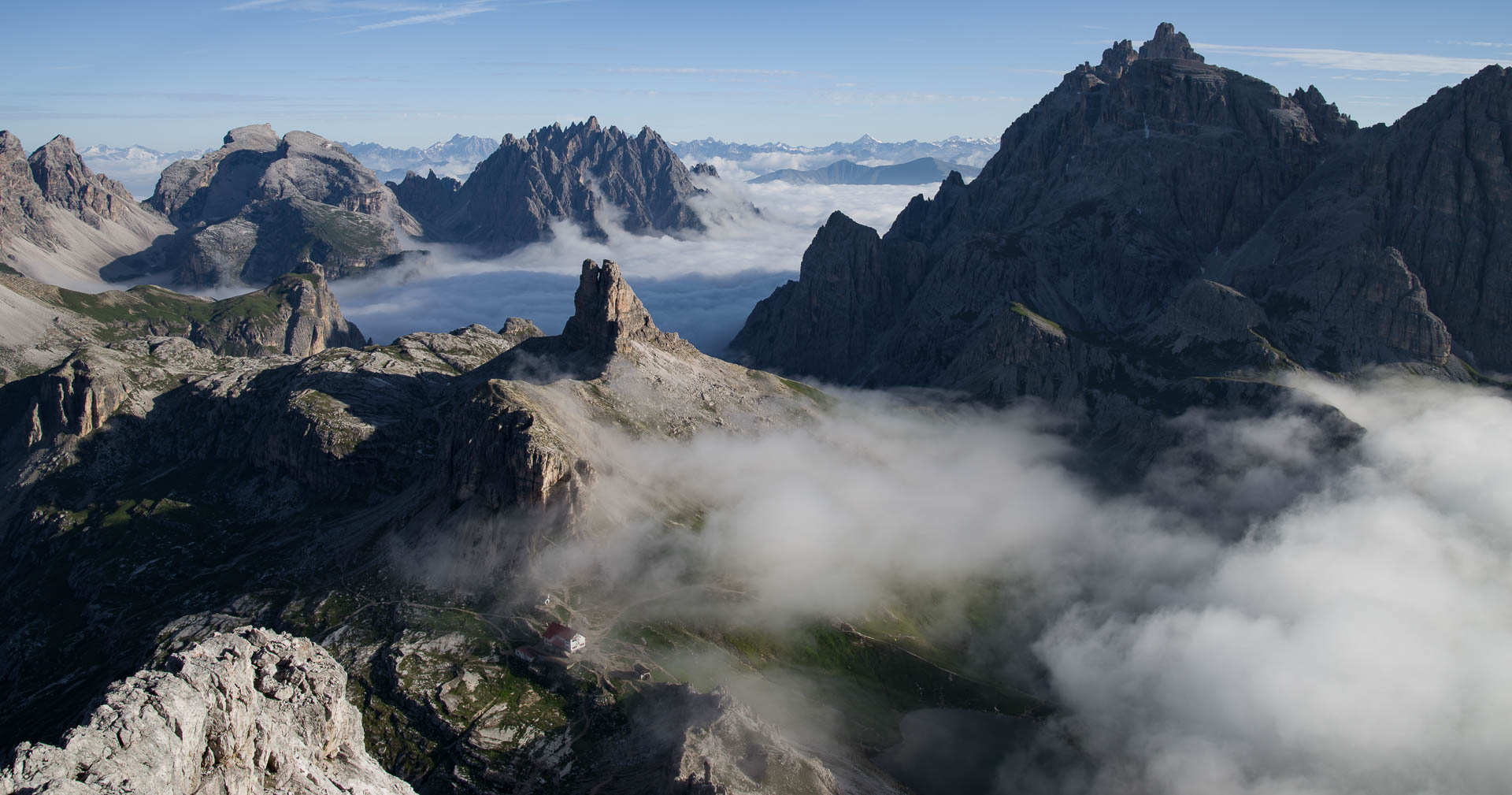


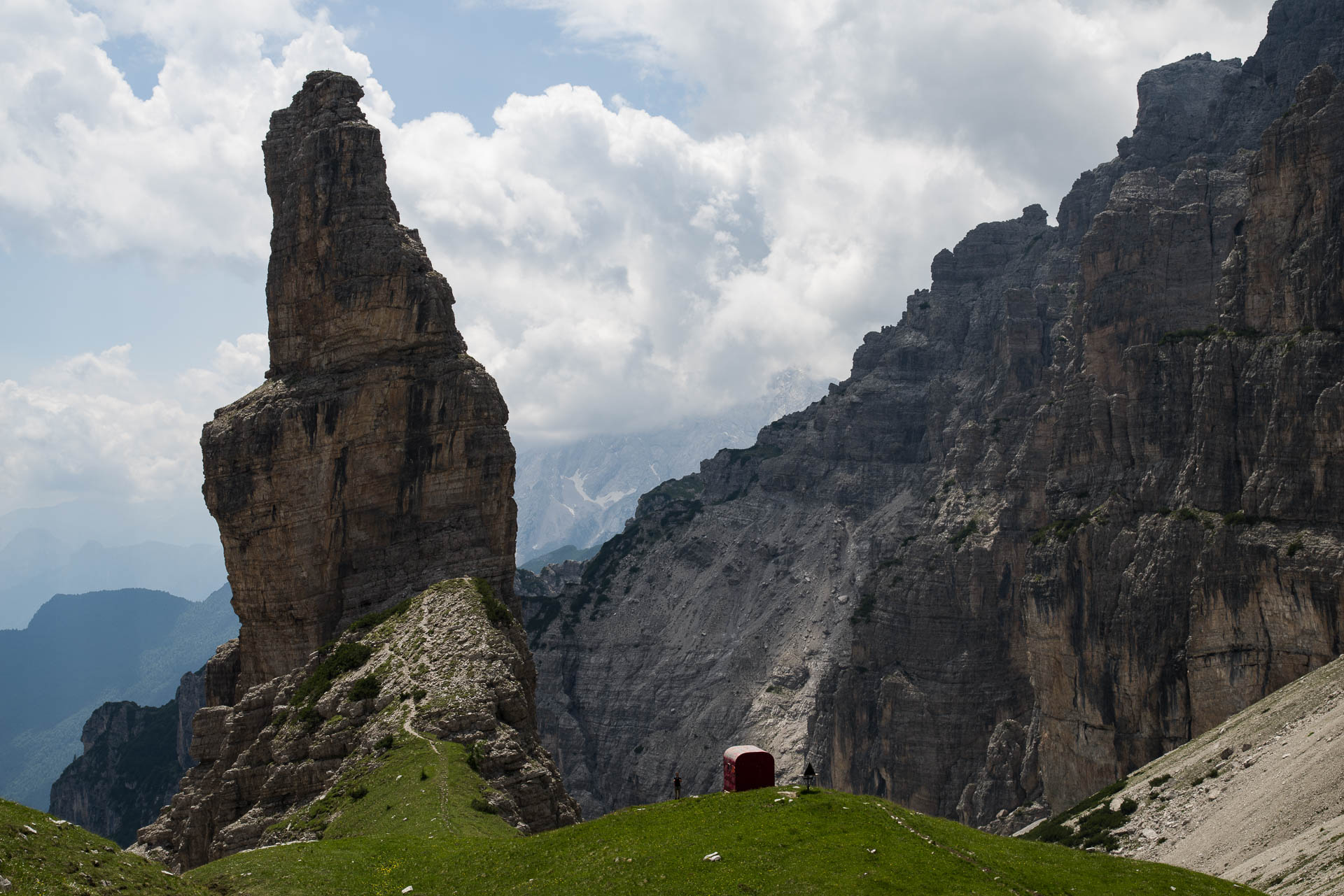
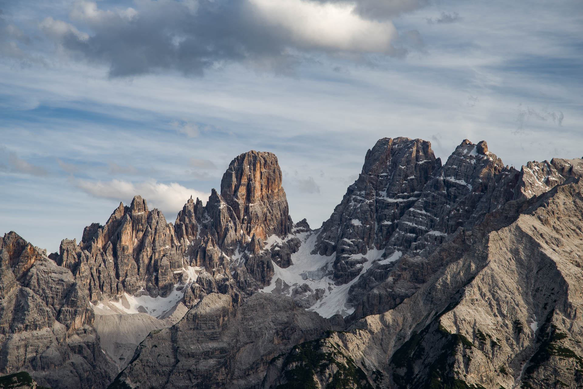
THE ROUTE
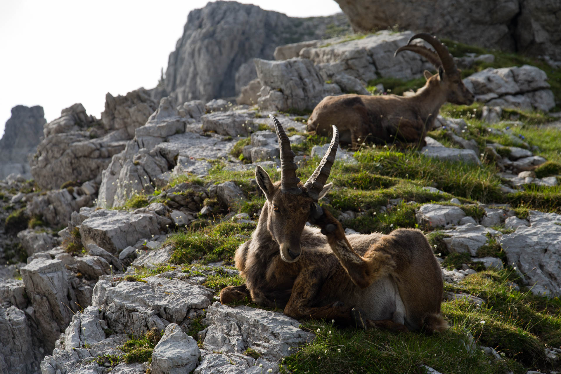
The Alps: Europe's largest natural area, the cradle of mountaineering and a haven for unique flora and fauna, but also an area where almost 14 million people live, rich in traditions and always characterized by cultural exchanges. The Via Alpina is an innovative European project around which, since 2000, public and private actors from the eight Alpine countries have come together to enhance their heritage together and to exchange experiences across borders.
Equipped trails along which you will find the Via Alpina logo, welcoming stop-off points offering accommodation and refreshments, turnkey excursions or other offers of discovery, offered in many places: these are the ingredients that will allow you to organize your trip for a weekend, a week or the whole summer...
The routes are technically easy and are accessible to all hikers (except during snowfall). However, find out about the weather, observe the basic rules of prudence in the mountains and respect nature and your mountain guests!
The map of the 5 Via Alpina routes
USEFUL INFORMATION AND LINKS
On the Via Alpina website you can find all kind of informations on this subject. All the stages are divided by day of all 5 routes that make up the Via Alpina. Very interesting is the section on Documentation in which you can view brochures, books and travel stories of hikers who, like me, have already covered it.
It is also possible in the section Itineraries to create your own Guide - Book: personally I have used it to download the detailed daily information for the whole course of the Route. Do not start without it!
A fundamental aspect are the MAPS! It is essential to always have with you the map of the place you are crossing, the Tabacco maps are those that I used during my crossing: the Via Alpina is even marked with its characteristic symbol! It is important to have a map with you also to take alternative routes and explore the various points of interest along the way without incurring in the loss of the main path. With a map you know (almost) always where you are.
When to start ? I left on June 4th, simply because the vast majority of the Refuges (Huts) do not open before June. It is also possible to leave earlier, but it is advisable to take a tent with you to spend the night.


PERSONAL CONSIDERATIONS
The Via Alpina was an absolutely fantastic experience for me! Spending 3 months in the high mountains was a great life lesson, I learned a lot and I could share stories and travel experiences with many people who during the summer reach the mountains to breathe good air and practice some healthy hiking or other outdoor activities. The path is well organized and the information signs are exhaustive and present when and where it is necessary. It is not essential to always rely on the Refuges to stay overnight and eat, but it depends on the experience you want to have. During the summer there are many people in some parts of the track, in others instead reigns peace and tranquility ... personally I prefer the second option :)